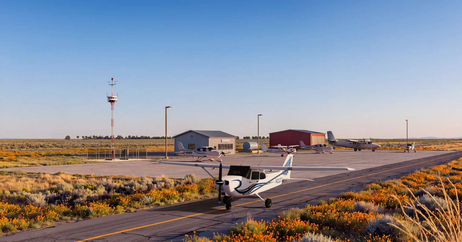





Day
Every corner of the airfield
Panoramic and PTZ cameras cover runways, taxiways and the pattern, and zoom in on any aircraft.
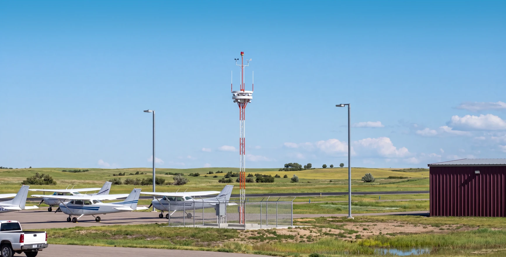
An affordable way to bring tower services to every airfield. Wide-open skies. Well-informed decisions.
Airfield — Controller — Cockpit
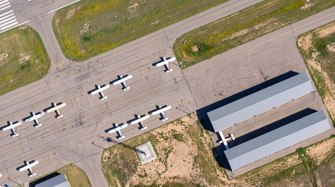
Eyes on each and every airfield. No distance too far.
A high-definition panoramic view of the airfield and the ability to track individual aircraft or other objects.
Ambient audio from the airfield gives controllers a sense of what's happening on the ground.
Aircraft broadcast their own GPS position, altitude and callsign. The ground station picks them up and puts every equipped aircraft on the controller's screen, with no radar on the field.
To listen and transmit on important airport frequencies, and to monitor nearby approach/departure and neighboring tower frequencies. Speech-to-text systems already used by the FAA are integrated.
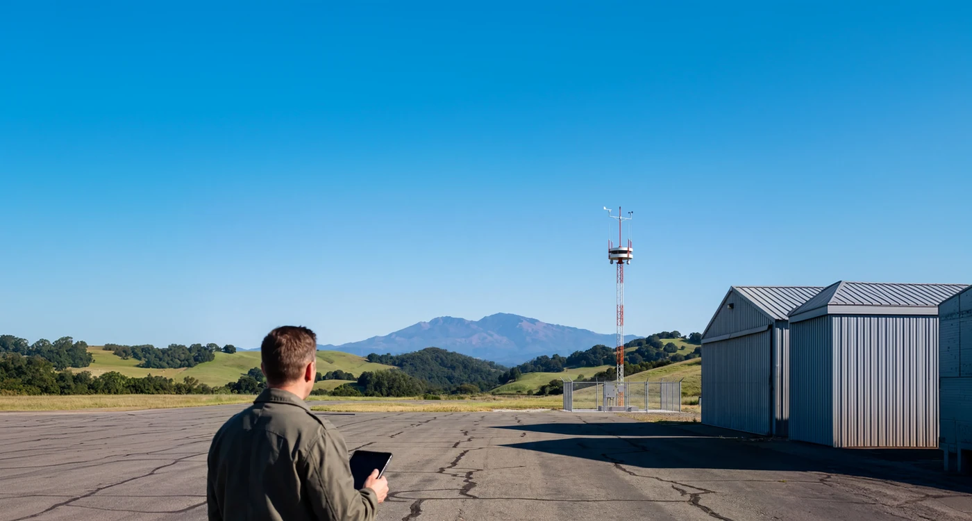
Integrated weather station with wind sensors at the top of the mast.
Standard green, red and white ATC light signals clear aircraft to land or take off when the radio fails or an aircraft has none (NORDO).
Digital tower
A high-definition panoramic view of the airfield and the ability to track individual aircraft or other objects.
Ambient audio from the airfield gives controllers a sense of what's happening on the ground.
Aircraft broadcast their own GPS position, altitude and callsign. The ground station picks them up and puts every equipped aircraft on the controller's screen, with no radar on the field.
To listen and transmit on important airport frequencies, and to monitor nearby approach/departure and neighboring tower frequencies. Speech-to-text systems already used by the FAA are integrated.
Integrated weather station with wind sensors at the top of the mast.
Standard green, red and white ATC light signals clear aircraft to land or take off when the radio fails or an aircraft has none (NORDO).
Engineered for reliability
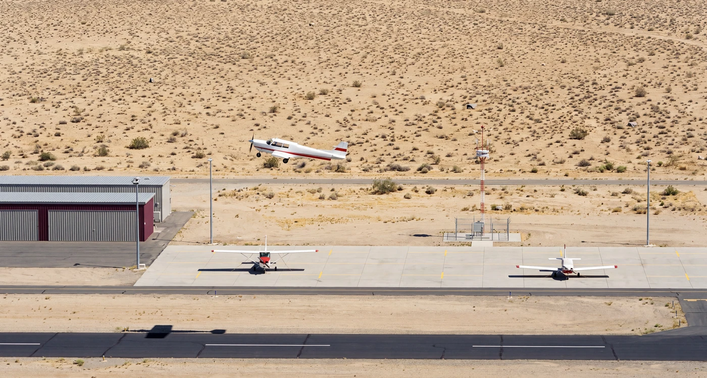
| Buildings distance | Sited to preserve sightlines to all active areas |
|---|---|
| Taxi route distance | ≥ 44 ft |
| Runway min distance | ≥ 265–424 ft |
| Sensor height | 50–150 ft |
| Tower base | 20 × 20 ft |
| Parking area distance | ≥ 39 ft |
Alerts inform. Controllers decide. The human is always in control.
See targets boxed and labeled on the feed. Pan-tilt-zoom cameras automatically track selected aircraft, ensuring clear visibility at night or in bad weather.
Verify surface conditions instantly. The system monitors the runway and triggers an alert if an incursion is detected.
Receive alerts when aircraft get too close to one another, bringing potential conflicts to your attention.
The system provides clear, high-resolution views of incoming aircraft, allowing you to confirm a safe approach configuration.
The system formats current weather for broadcast and maps out standard taxi routes for your final review and approval.
The radio connects. The companion app makes it clear.
Skyhawk 52K, enter left downwind runway 27
Wind 250 at 8, runway 27, cleared to land
Taxi to runway 27 via Alpha, hold short of Bravo
Every transmission transcribed, with replay.
Instructions drawn on the airport diagram.
How to join the pattern for the active runway, shown on the map.
A shared history of every exchange with ATC.
Day
Panoramic and PTZ cameras cover runways, taxiways and the pattern, and zoom in on any aircraft.

FAA compliance
360° view, 25 Hz or higher, less than 1 second latency, 7× magnification
Safety assessment, integrity and continuity targets, ATC alarm within one second
Light gun, airfield audio, 45-day recording, two-hour repair, three-second failover
FAA-G-2100 human engineering, HF-STD-001 displays and alarms
Closed point-to-point network, FIPS-encrypted VPN, multi-factor remote access
FCC Part 15 emissions, Part 87 tower stations, 121.5 MHz guard watch
Part 77 notice, AC 70/7460-1 marking and lighting, frangible masts
FAA-G-2100 outdoor operation, 56 mph wind, icing, automatic restart
FAA evaluation at the William J. Hughes Technical Center, Atlantic City
Deployment
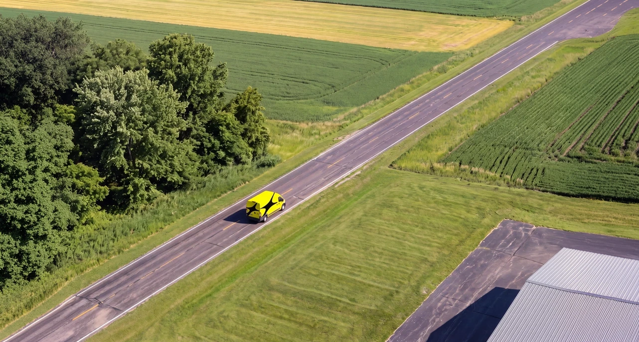
Every component is engineered and tested by our domestic supply chain.
Our crews manage the installation of the foundation pad, mast, and sensor arrays.
Hardware repairs and proactive maintenance for the life of the tower system.
Updates delivered remotely to ensure the system stays current and secure.
FAQs
No. A human is always in control. A certified controller issues every clearance, and the system supports them with high-resolution live video, traffic data and alerts, so they can focus on exceptions and escalations.
Because there is a significant cost and access gap in ATC that digital towers can address. 9 in 10 U.S. public-use airports have no tower, and they see up to 10x higher accident rates. A conventional tower costs millions to build and needs multiple controllers to staff. A digital tower brings tower services to these airports at a fraction of the cost, and the same system can later cover towers that close at night or need a backup.
Not on its own. At non-towered airports, pilots announce their own positions on a shared frequency and are responsible for keeping themselves separated. ADS-B and cockpit apps show traffic, but no one watches the runway or issues clearances. A digital tower brings cameras, ADS-B, radio, audio and weather into one controller view, so tower services reach airports that have none today.
It is much less expensive, much newer, and built in the US. Our digital tower is designed to cost a fraction of today’s alternatives, so it makes sense at small airports, not only busy ones. It’s designed, built and supported in the U.S. And it runs on current cameras, sensors and software, with tools that assist controllers and a direct link to the cockpit.
Our system is designed to exceed the FAA’s published digital tower requirements, including the Operational Visual Requirements and the Minimum Functional and Performance Requirements. Like every digital tower, it will need to earn FAA System Design Approval through airport evaluations.